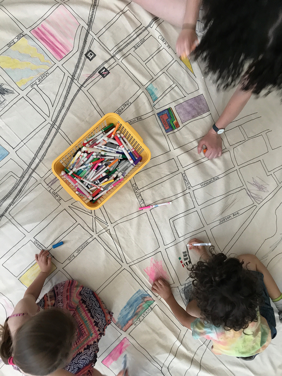
Draw a local map on canvas and join together to color it while talking about the built environment of your town.
SUPPLIES!
- Large piece of canvas (any size will do but you want many people to color simultaneously, so make it at least 6′ x 6′ (although bigger is definitely more fun!) Purchase at an art supply shop or hardware store (you can use a painter’s drop cloth.)
- Handful of pushpins
- 2-3 Black Sharpies
- Image of a local map on a computer
- Projector to connect to your computer (You might have to borrow it, a local school or a workplace might have one to borrow. Or you can purchase them relatively cheaply nowadays online.)
- Colored pencils or markers for coloring the map

MAKE IT!
- Find a big smooth wall and attach the canvas to the wall with the pushpins.
- Find a local map of your area online (Thank goodness for Google Maps – amongst others!) This can be your town or your neighborhood, depending on the area you want to work on as a group.
- Download the map on to your computer.
- Connect the projector to your computer.
- Project the map image onto the canvas.
- Trace the streets and blocks and building outlines onto the canvas. (Keep turning on the lights in the room to see if you have captured all of the details that you want to include.)
- Upon completion, detach the canvas from the wall and place on the floor.
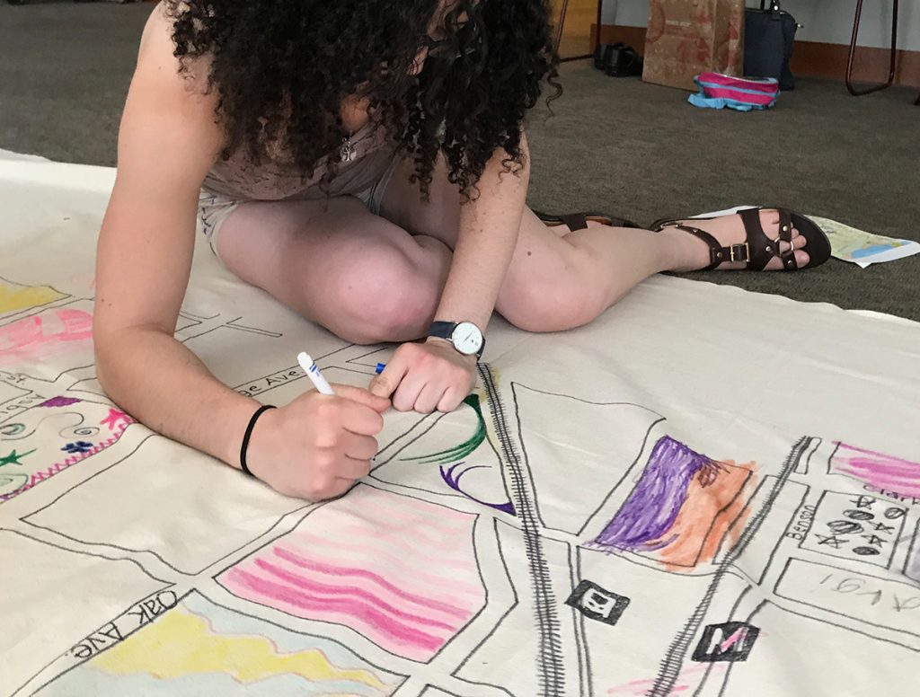
- Invite kids in to draw on the map. Discuss where the landmarks are, where the kids live. Note how stores (retail) are located in a specific area, residences are in another, height of buildings, public buildings, etc.
- As a next step, invite kids to build on the map – either dream buildings or real buildings.